site.btaMap Shows 485 Active Faults in Turkiye


Turkiye’s Disaster and Emergency Management Authority (AFAD) has prepared an Earthquake Hazard Map of the country, TRT Haber reported.
It shows 485 active fault lines, and the colors ranging from light yellow to dark red indicate an increase in ground acceleration from low to high.
AFAD’s Earthquake and Risk Reduction General Manager Orhan Tatar said: “Turkiye’s Earthquake Hazard Map entered into force in January 2019. This map has been prepared by a large number of researchers from seven universities and public institutions with a multi-stakeholder approach. The most important basis of the earthquake hazard map is Turkiye’s active fault map. In addition, historical and instrumental period earthquake catalogs are also used. The active fault map of Turkiye was last updated in 2013.”
The values given on the map do not include the dangers that may be posed by local ground conditions. Turkiye’s Earthquake Hazard Map can be used in various areas, especially in the design of earthquake-resistant buildings.
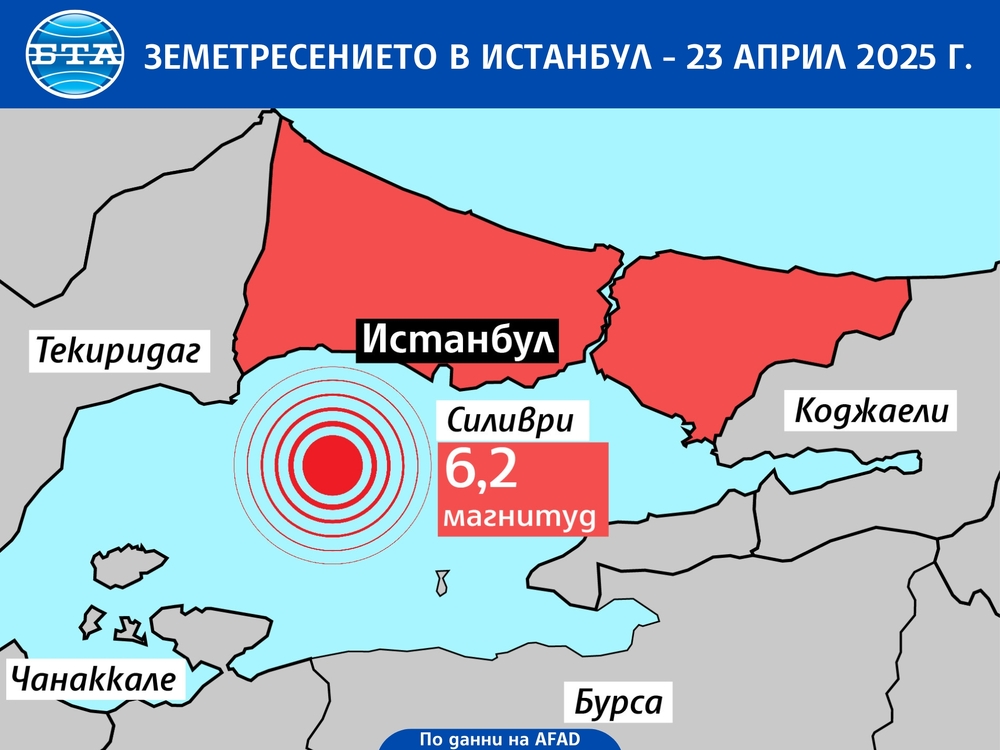
A strong earthquake with a magnitude of 6.2 shook Istanbul and other areas in the country on April 23. The tremor was felt in Bulgaria and Romania. There were no casualties or serious damage as a result of the earthquake, but over 150 people were injured in the stampede.
The map can be accessed via "https://tdth.afad.gov.tr".
/PP/
news.modal.header
news.modal.text