site.btaBulgaria Begins 2026 Aerial Survey to Update Land Parcel Data
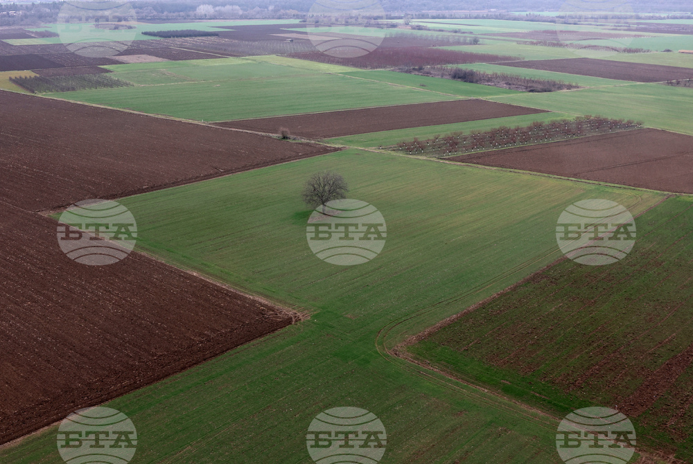
The Ministry of Agriculture and Food is launching the planned 2026 aerial survey to update data in the Land Parcel Identification System (LPIS).
The project is part of the implementation of a new contract for updating Bulgaria’s digital orthophoto map (DOM). It provides for the phased aerial surveying of the entire country over a three-year period through 2028, with approximately one-third of the country’s territory to be covered each year.
According to the schedule prepared by the contractor, and subject to favourable weather conditions, the 2026 survey is scheduled to begin later in August. It will cover all or parts of the districts of Kyustendil, Pernik, Sofia City, Sofia District, Montana, Vratsa, Pleven, Veliko Tarnovo, Lovech, Gabrovo, Pazardzhik, Plovdiv, Stara Zagora, Sliven and Yambol.
The aerial survey will be carried out using two aircraft equipped with high-tech digital cameras capable of producing the required quality of digital orthophoto imagery.
Based on the interpretation of the new digital orthophoto map, together with the results of the field inspections currently underway, the data in the Land Parcel Identification System will be updated for the 2026 agricultural campaign.
/DD/
news.modal.header
news.modal.text